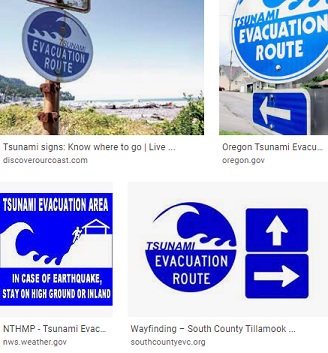
Wayfinding

With guidance from the Oregon Office of Emergency Management (OEM) and the Oregon Department of Geology and Mineral Industries (DOGAMI), the South Tillamook County Emergency Volunteer Corps Wayfinding Committees of Neskowin, Pacific City and Tierra Del Mar are developing tsunami escape route and assembly area signage plans.
As OEM and DOGAMI note in a Wayfinding Guidance document: “Tsunamis are usually generated by great subduction zone earthquakes when the ocean floor is rapidly uplifted during the earthquake. The tsunami wave from a local subduction zone earthquake will arrive at the coast in approximately 10-20 minutes, and tsunami waves will continue to arrive periodically for several hours. When the shaking stops, people must immediately move inland to high ground. It is critical that residents and tourists know the landward extent of the local tsunami inundation zone used on evacuation brochures, their evacuation routes, and the nearest safe zones.
The most visible way to educate the public is to use signage that guides the public to safety. According to Webster’s Dictionary, wayfinding is defined as, “the process or activity of ascertaining ones position and planning and following a route.” It is imperative that coastal communities provide clear and consistent wayfinding signage to residents and visitors alike. People will need to be able to move quickly uphill and inland after the ground stops shaking. Proper use of wayfinding signage will help people evacuate safely and quickly no matter the time of day or weather conditions.”
Based on DOGMAI’s Tsunami maps (https://www.oregongeology.org/pubs/tsubrochures/NeskowinEvacBrochure-12-12-12_onscreen.pdf), the Wayfinding Committees are working with other local residents to identify which types of signs should be placed at which locations. Some signs will indicate the Tsunami Evacuation routes, others will indicate when persons have reached a safe point outside of the tsunami zones and others will indicate where the Evacuation Assembly areas are located. Signage will also guide persons who are traveling on U.S. 101 to high ground when the earthquake hits.
For your own safety in any coastal location, go to https://www.oregongeology.org/tsuclearinghouse/ where you’ll see Tsunami Evacuation maps for your smartphone with links for either iPhones or Androids. This App will tell you when you are standing outside of the XXL tsunami zone.